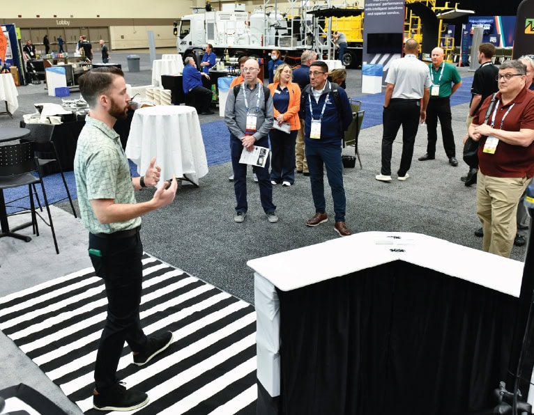
ATSSA’s 2025 New Products Rollout Report details the latest ideas for protecting workers, motorists and pedestrians
ATSSA’s 2025 New Products Rollout Report details the latest ideas for protecting workers, motorists and pedestrians NPRO entries offer cutting-edge…
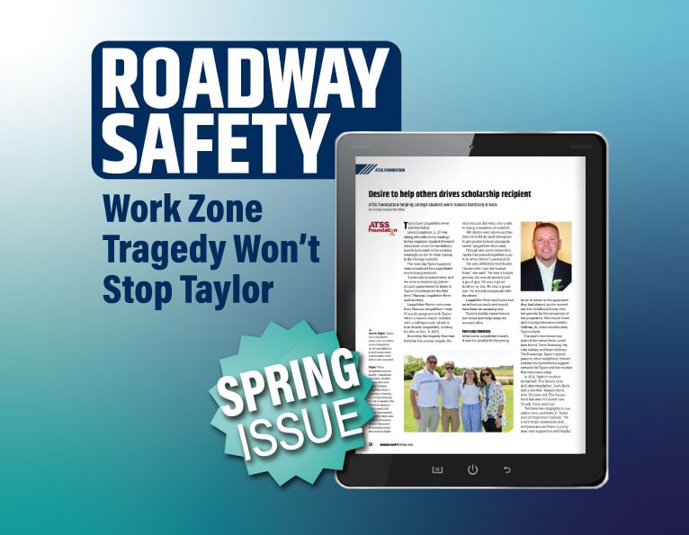
Foundation provides community for scholarship recipient
Foundation provides community for scholarship recipient Student’s father killed in work zone crash before her birth Taylor Lingafelter can only…
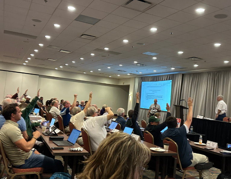
NCUTCD Midyear Meeting provides update on MUTCD adoption
NCUTCD Midyear Meeting provides update on MUTCD adoption DES MOINES, Iowa – Eight states have completed the process of adopting…

ATSSA Worker Protection Toolkit equips leaders for preventing, responding to tragedy
ATSSA Worker Protection Toolkit equips leaders for preventing, responding to tragedy ATSSA’s Worker Protection Toolkit draws on the research and…
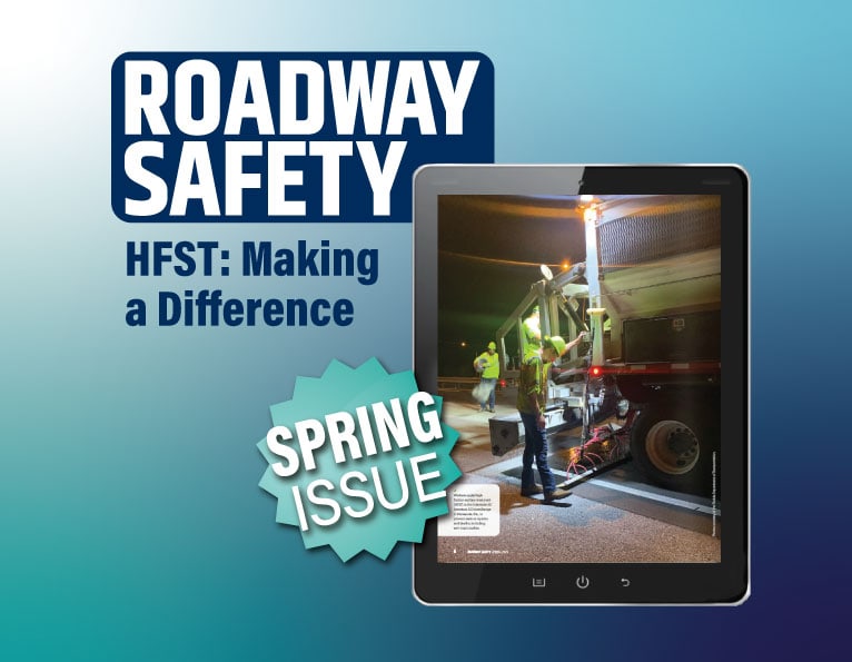
Crashes plummet in Florida Panhandle after HFST applied
Crashes plummet in Florida Panhandle after HFST applied Latest issue of Roadway Safety details efforts in Florida A key interchange…

Apply now for Public Agency Scholarships for ATSSA’s 2026 Convention & Traffic Expo
Apply now for Public Agency Scholarships for ATSSA’s 2026 Convention & Traffic Expo Local, state and federal transportation agency officials…
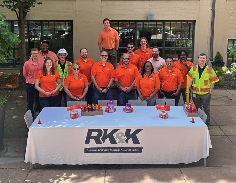
RK&K team gives to the ATSS Foundation to support work zone safety
RK&K team gives to the ATSS Foundation to support work zone safety Employees at RK&K donated more than $4,000 to…

Prevent digital thieves from stealing peace of mind and profits
Prevent digital thieves from stealing peace of mind and profits Join ATSSA’s June 4 webinar to protect your business While…

Roadway Safety explores HFST, advocacy, deskless workers and more
Roadway Safety explores HFST, advocacy, deskless workers and more The Florida Department of Transportation (FDOT) demonstrated the value of high…
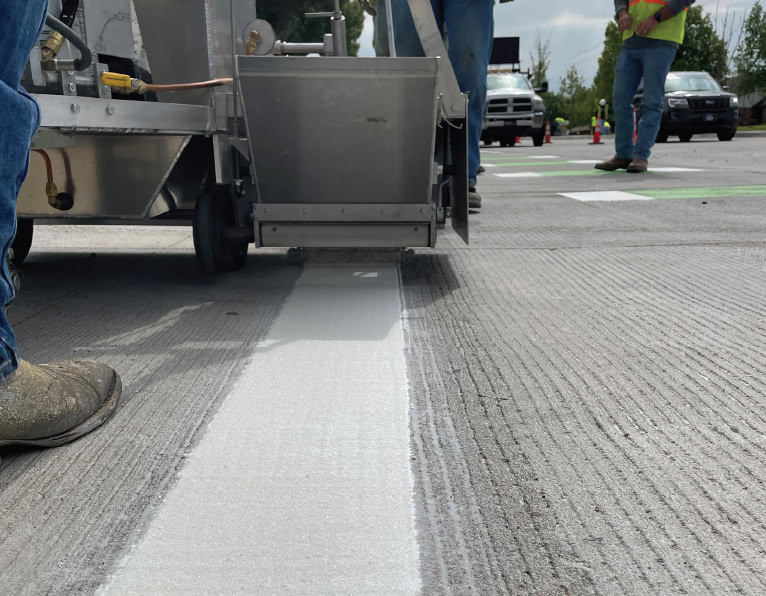
MnDOT study examines driver preferences for pavement markings
MnDOT study examines driver preferences for pavement markings By Nagham Matout El-Zine, ATSSA The Minnesota DOT (MnDOT) recently published a study…

Join ATSSA in D.C. to celebrate construction on the National Mall
Join ATSSA in D.C. to celebrate construction on the National Mall Join ATSSA on the National Mall, May 14-16 to…

ATSS Foundation awards nine scholarships for 2025-26 academic year
ATSS Foundation awards nine scholarships for 2025-26 academic year The ATSS Foundation awarded Roadway Worker Memorial Scholarships to nine students…
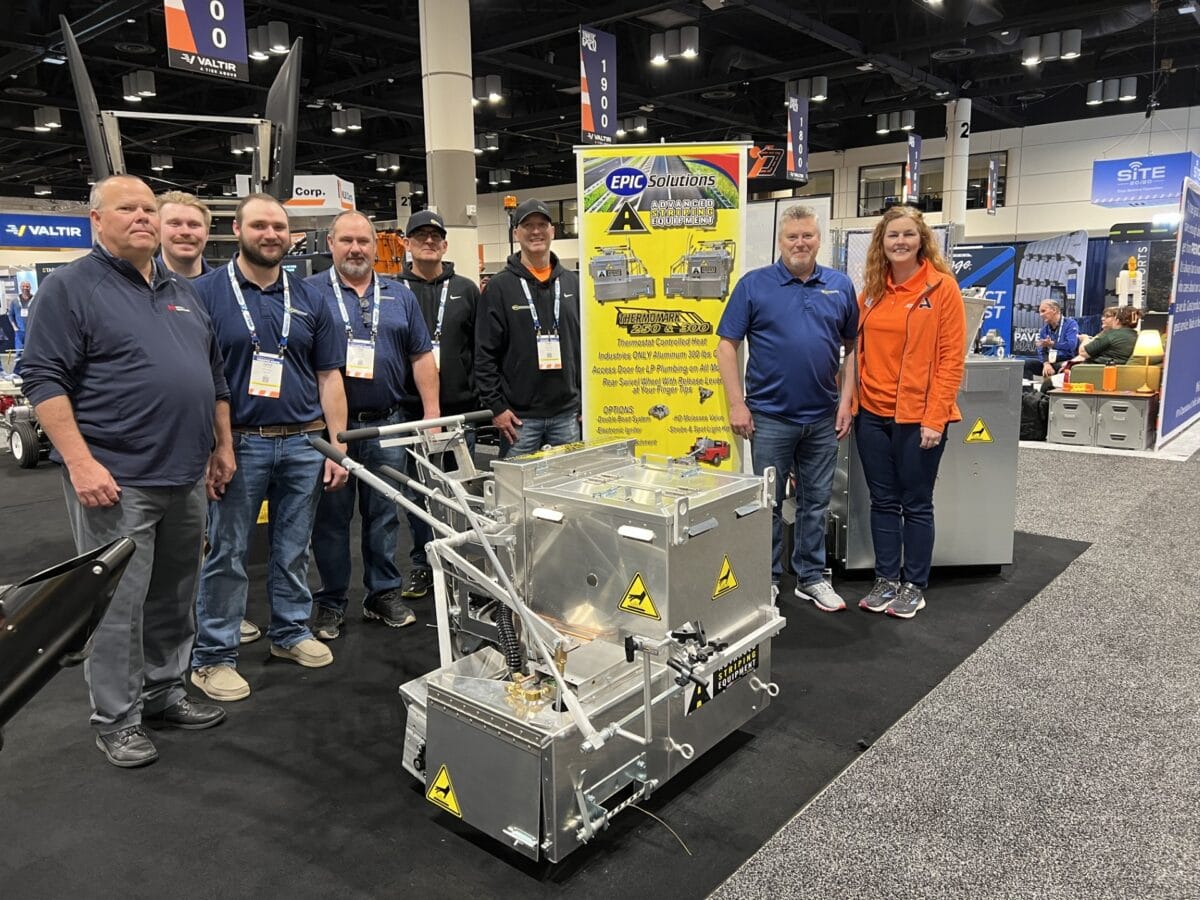
Epic Solutions awards company handliner to winning bidder
Epic Solutions awards company handliner to winning bidder Epic Solutions Inc. announced Davies Imperial Coatings as the winning bidder for…
ATSSA joins the city of Eden, N.C., in grieving four work zone deaths
ATSSA joins the city of Eden, N.C., in grieving four work zone deaths On this final day of National Work…
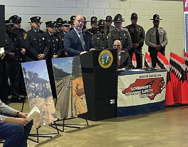
North Carolina DOT hosts national kickoff for National Work Zone Awareness Week
Contact: Maria Robertson ATSSA Director of Marketing & Communications 540-376-3891 communications@atssa.com North Carolina DOT hosts national kickoff for National…

NAPA, ATSSA aim for worker safety considerations in next highway bill
NAPA, ATSSA aim for worker safety considerations in next highway bill Work zone safety & Washington, D.C. The National Asphalt…